Found an old land record? Start with its identity
An old family file may contain a yellowed land record with a familiar name. That name is only a starting point. Before treating the page as proof of today’s owner or boundary, identify its village, record period, parcel reference, area and the changes recorded after it was prepared.
This guide explains an initial reading and comparison process for Indian revenue records. Khasra, khatauni and cadastral maps serve different purposes. Their terminology, columns and administrative context vary by state and period; one online sample cannot define every historical form.
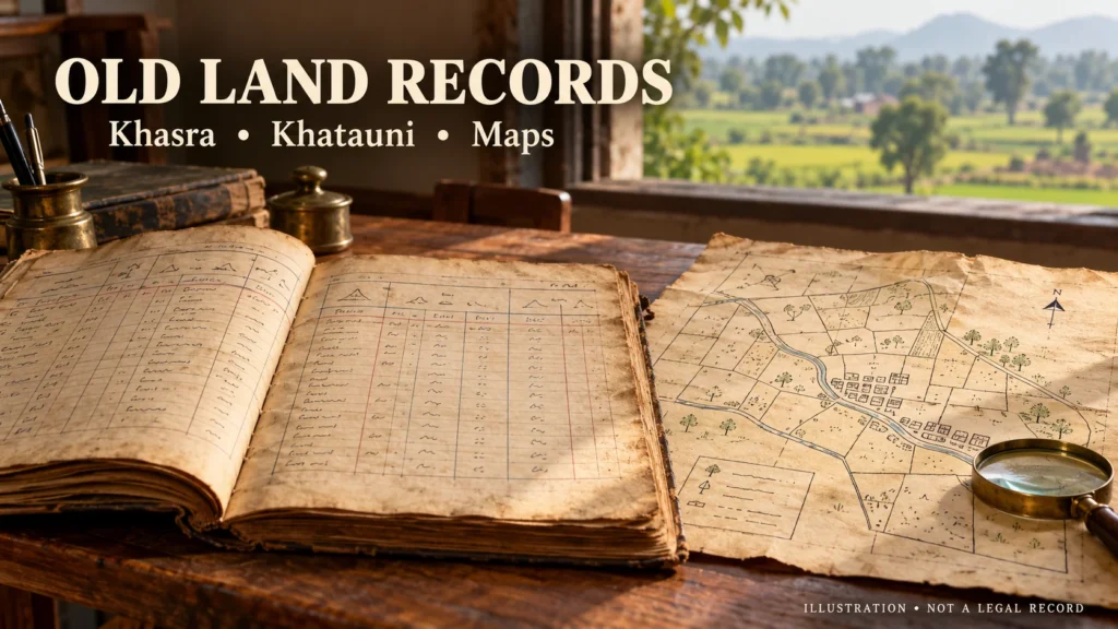
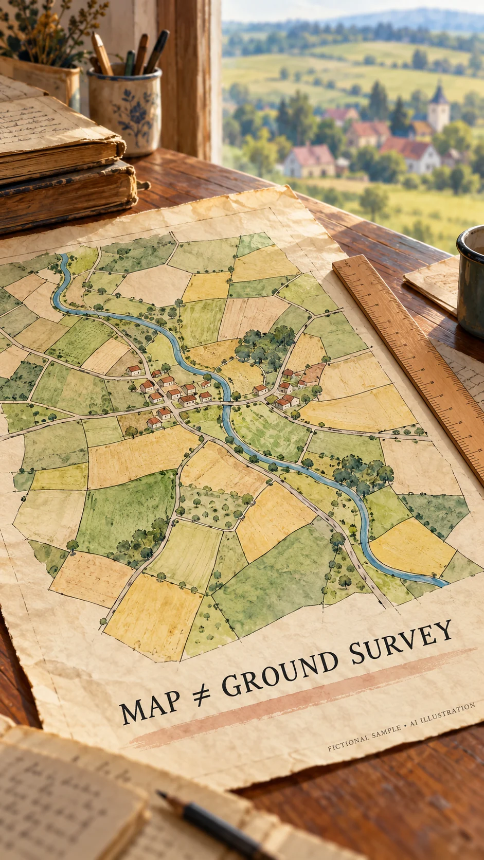
All three images are fictional AI illustrations. They are not authentic extracts, certified copies or documents concerning a real family. Do not use them to identify a property or support a legal claim.
Khasra, khatauni and a map answer different questions
A khasra is generally read through entries associated with a field or parcel reference. Read the headings on the actual form to see what information it records. Do not label a faded column using the layout of an unrelated state’s modern extract.
Khatauni or a Record of Rights concerns recorded holders and associated land interests in its local record system. Delhi’s Revenue Department separately links a cadastral village map, or sajra, and the Record of Rights, or khatauni. Local forms and terminology still need to be checked.
A land map helps explain the spatial arrangement of parcels. Matching it with a written entry requires the correct village, reference number and survey or record context. A cadastral map should not be presented as a substitute for a registered deed.
Read these six details before interpreting the page

First identify district, tehsil and revenue village. A familiar settlement or panchayat name may not supply the complete record identity. Next, separate the record year from the date on which a copy was issued. An old entry can appear in a recently issued copy.
Third, transcribe the parcel reference exactly, including slashes, subdivisions and decimal marks. Fourth, read the recorded person’s name alongside parent or spouse details and any other named holders. A matching name alone does not establish that two entries concern the same individual.
Fifth, separate the total parcel area from an individual’s recorded share. Read the unit before comparing values. Do not apply a bigha conversion borrowed from another district without checking the relevant local measurement standard.
Sixth, read remarks, references to changes and any continuation page. Mark uncertain writing as unreadable rather than guessing. OCR or AI may suggest a reading; it does not authenticate a faded number or replace the underlying record.
Where to look for an old or certified copy
For Madhya Pradesh, start with the government MP Bhulekh address, mpbhulekh.gov.in. Sidhi district administration lists certified copies of khasra, khatauni, maps and scanned archival records among the available services. Confirm coverage for the required village and period with the current service or record branch.
If the year is unavailable online, ask the relevant tehsil or record room where that register is held and what identifying information is required. A request is easier to understand when it states the village, record type, period and known parcel reference. Online availability of every historical sheet cannot be assumed.
Maharashtra’s Mahabhumi and West Bengal’s Banglarbhumi are separate state systems. Their local extracts are not identical copies of an MP form. Obtain portal links from the responsible government department rather than assuming a similarly named private website is official.
Compare historical and current entries without guessing
Place both documents side by side. Match village and parcel identity first, then compare period, names, area, share and remarks. Write down each difference and the record needed to explain it. A disagreement is a question to investigate, not an automatic finding of fraud.
Suppose an entirely fictional old entry shows parcel 45 and a later page shows 45/1. The number alone proves neither an error nor a relationship between the two. Request the relevant subdivision, resurvey or change record to establish the connection.
When names differ, look for the intervening mutation entry and its underlying order or reference. When area differs, check units, subdivisions and record periods before interpreting it. Editing your own copy does not resolve a difference in the official records.
Advice: distinguish a viewing copy from a certified record
Check whether the document is merely displayed for information or issued as a certified or digitally signed record. Maharashtra’s official land-record FAQ expressly distinguishes view-only extracts from digitally signed records for official use. Do not automatically transfer one state’s rule to every other state.
Retain applications, receipts and responses together. A simple enquiry can request the available record and related change entry for a stated village, year and parcel. This is a way to organise a request, not a prescribed legal application form.
Before changing possession, removing a field boundary or committing to a transaction based on an old sheet, obtain appropriate local verification. If sharing a document publicly, conceal unnecessary personal information in the shared copy and retain the unaltered source separately.
Five questions about old land records
Does an old khasra automatically describe today’s position? No. Check its period and subsequent records.
Are the khasra number and account number identical? Do not assume so; read the local headings and identification system.
Does an online map finally settle a boundary? A screen view alone should not be treated as an authorised demarcation.
Is every screenshot a certified extract? No. Check the issuing department’s certification and verification arrangements.
Can AI confirm an unreadable name? It can suggest a reading, but official confirmation must be sought from the underlying records and responsible authority.
Sources and illustration disclosure
Disclaimer: general information, not a legal opinion on any individual title, boundary or dispute. Procedures vary by state, record and circumstances. All three images are AI-generated fictional illustrations, not government records. Sources checked: 25 October 2026.
- MP government, Sidhi district: land-record services and certified archival copies
- MP Bhulekh: official land-record portal
- Delhi Revenue Department: Record of Rights and cadastral map links
- Supreme Court of India: judgment dated 19 December 2025, paragraph 19, page 15
- Maharashtra Land Records Department: official FAQ, view-only and digitally signed records
- Mahabhumi: official gateway for Maharashtra land-record services
- West Bengal, Paschim Medinipur district: RoR, plot maps and archival RS record services
- Banglarbhumi: official West Bengal portal
Related: ancestral property, partition and consent of legal heirs
Related: reading old property deeds and finding certified copies