
Cyclone Arnab has moved beyond its landfall phase. For readers searching “severe cyclonic storm Arnab”, the key update is that an earlier intensity label should not be mistaken for the system’s current strength. The IMD bulletin issued at 03:55 IST on 29 October 2026 reported that Arnab had weakened into a deep depression.
That bulletin expected further weakening during 29 October. This is a dated, source-based explainer rather than an automatically updating live tracker. Before travelling, returning home or taking a boat out, read the newest district and coastal warnings. A weakening storm can still leave difficult rain, sea and transport conditions behind.
Cyclone Arnab latest update: read the bulletin time first
The IMD coastal bulletin issued at 03:55 IST on 29 October placed the weakened system over north coastal Andhra Pradesh and adjoining parts of south Odisha, south Chhattisgarh and northeast Telangana. Its position referred to 1800 UTC on 28 October, equivalent to 23:30 IST that night.
The forecast in that bulletin was for a depression by the morning of 29 October and a well-marked low-pressure area by the evening. Those are forecast stages, not observations we can independently declare completed. This distinction matters when an older screenshot is shared several hours after it was issued.
For a location-specific decision, note three separate times: when an advisory was issued, the time of the observed position and the period for which the warning is valid. A report can be published today while describing yesterday’s conditions. “Latest” is meaningful only when the underlying bulletin time is visible.
What happened at landfall, and what changes afterwards?
Public broadcaster Akashvani reported landfall along the Andhra Pradesh coast on 28 October. Its report also described evacuations and transport disruption. Those reports establish the earlier landfall phase; they should not be recycled as a fresh prediction that the cyclone has yet to arrive.
Landfall describes the crossing of the coast by the circulation’s centre. It is not an all-clear signal for every community around the system. Rain can continue, rivers can respond later and damaged infrastructure can remain unsafe after the strongest winds have passed. A local authority may therefore keep restrictions in place after the meteorological classification changes.
For families inland, the useful question is no longer simply “Where will the cyclone hit the coast?” It becomes “Is heavy rainfall expected in my district, are roads usable and have local officials changed their instructions?” That shift helps readers act on their own circumstances instead of following an outdated storm headline.
Affected areas: coastal warnings and inland risk are different
The early-morning IMD coastal bulletin described rough to very rough seas along the Andhra coast and heavy rain at isolated places along the north Andhra coast. Its warning period was limited. Do not extend those exact conditions indefinitely or apply them to a different coastal district without a newer bulletin.
An inland low-pressure system and a coastal sea warning are separate pieces of information. Someone in an inland town should prioritize district rainfall and flood advisories; someone operating a fishing boat needs marine guidance and port instructions. A single national headline cannot replace either decision process.
Likewise, a named state in a weather report does not mean every district has the same alert. Terrain, drainage and the system’s movement can produce very different local conditions. Use the warning relevant to the destination as well as the starting point, especially when a journey crosses several districts.
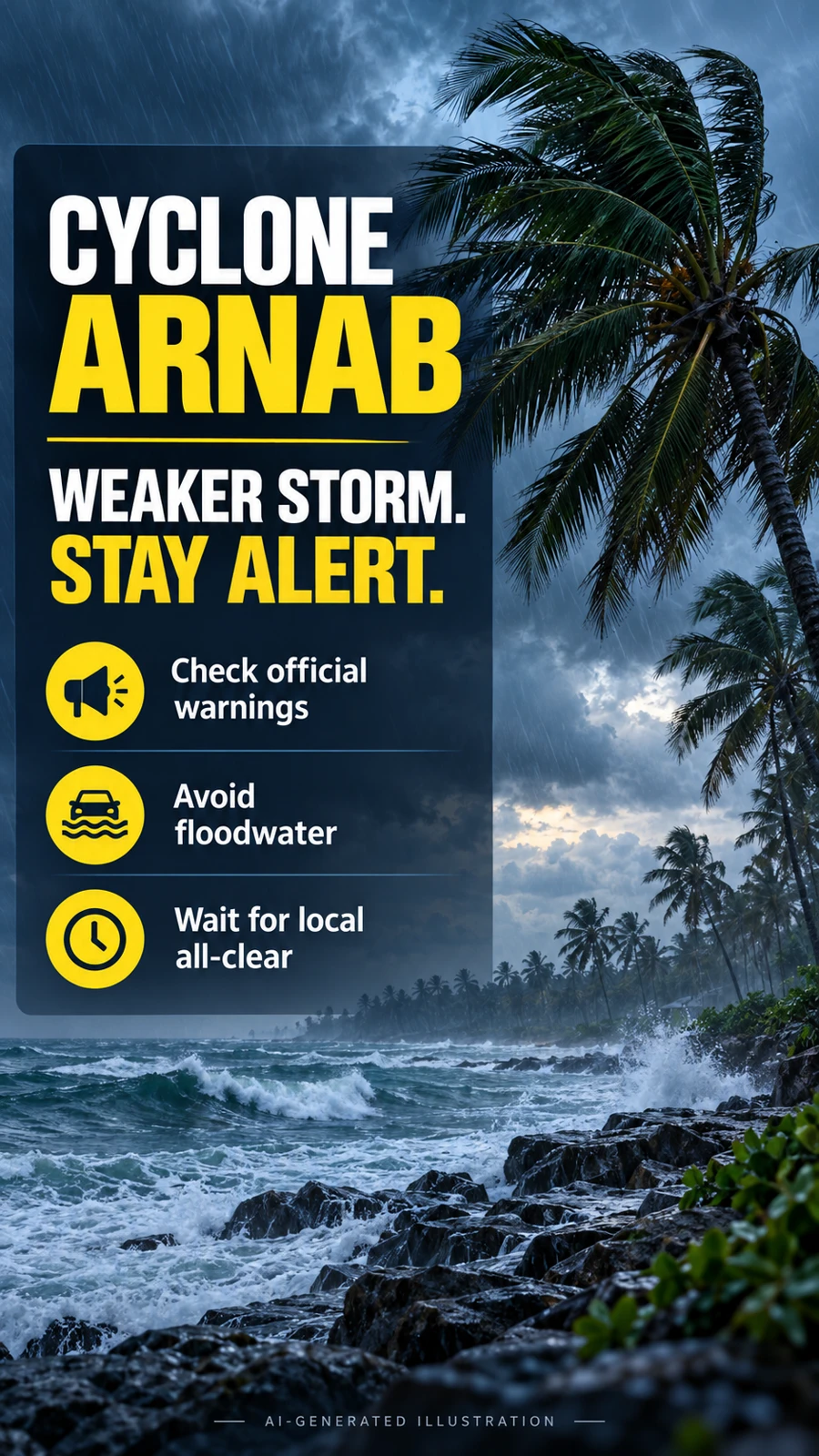
FACT box: what this update does and does not establish
Source checkpoint: IMD coastal bulletin, 03:55 IST, 29 October 2026.
Reported stage: deep depression after weakening from a cyclonic storm.
Forecast: further weakening during 29 October.
Practical meaning: check fresh local rain, flood, marine and transport advisories.
Limit: this page is not a live radar feed or an official evacuation order.
The name Arnab remains useful for finding reports about the same weather event. However, search engines and social posts may continue displaying “severe cyclonic storm” even after the official stage has changed. Read the body of the newest advisory rather than relying only on the search phrase or thumbnail.
How to check official cyclone tracking and warnings
Start with the IMD cyclone information page, which provides national bulletins and track-related products. Look for the most recent issue time, then check the district warning products and instructions from the district administration. A projected track is a forecast, not a boundary outside which all weather risk disappears.
The NDMA SACHET portal distributes disaster alert information. Choose the relevant location and read each alert’s coverage and validity period. A page showing no alert for one selected location should not be generalized to an entire state or treated as proof that a different district is safe.
Save the official source link when sharing an update with relatives. Include the issue time and district name in the message. If a forwarded image has no source, date or place, do not use it to decide whether a school is closed, a road is open or a shelter can be left.
Advice: a practical checklist for families and travellers
Follow evacuation and shelter instructions from the people responsible for your area. The National Institute of Disaster Management guidance advises waiting for an official all-clear before leaving shelter or returning home. Take the recommended route rather than assuming the shortest route remains usable.
Keep essential medicines, drinking water, simple food, a torch and a charged phone accessible. Plan around the needs of children, older relatives and anyone who requires assistance. This is easier when one family member keeps track of official messages and another checks transport arrangements, rather than everyone relying on different forwarded claims.
Stay away from loose or dangling electrical wires. Do not enter floodwater to inspect a damaged vehicle or recover a non-essential item. If equipment has been wet, arrange a competent safety check before use. For serious structural damage, keep people away and seek help rather than beginning a risky inspection yourself.
Before travelling, verify the specific train, flight or bus with its operator. A report that services were disrupted yesterday does not establish the status of your departure today. Confirm the route to the station or airport as well; an operating service is of little help if local access remains blocked.
Farmers and small businesses should document losses when it is safe, keeping dates, location details and relevant records. Do not assume that a social-media message about compensation establishes eligibility. For a separate guide to agricultural payments, see our PM-Kisan status and e-KYC explainer; cyclone relief and PM-Kisan are different processes.
Frequently asked questions
Is Arnab still a severe cyclonic storm?
The early-morning IMD bulletin checked for this article reported a deep depression. Consult the newest bulletin for any later change.
Has Cyclone Arnab made landfall?
Akashvani reported landfall on 28 October. Older pre-landfall forecasts should not be presented as current warnings about a future crossing.
Does weakening mean the danger is over?
No automatic all-clear follows from the name changing. Rain, flooded roads, damaged power lines and unsafe sea conditions require separate local checks.
Where can I see the cyclone path?
Use IMD’s official cyclone page and current track products. Check the timestamp and forecast period rather than following an undated social-media map.
Can I return from a shelter now?
Follow the shelter manager and district administration. This article cannot assess the safety of your building or route.
Safety note: information checked on 29 October 2026 using the cited bulletins. This explainer does not replace current official warnings. Both images are AI-generated illustrations, not photographs of Arnab or satellite observations.