Most large rivers of India run toward the Bay of Bengal. The Narmada does the opposite: it leaves Amarkantak and keeps moving west until it meets the Arabian Sea. That contrast is why people keep asking why narmada river flows west reverse — as if the current itself had turned around. The documented course is geological. The stories told on the banks are older and different. This piece keeps those two accounts apart.
Call her Narmada, Reva, or the lifeline of Madhya Pradesh. Devotees also speak of her with the same reverence given to the Ganga and the Yamuna. The “reverse” label is popular speech, not a claim that water climbs uphill. Water still follows slope and gravity. What is unusual is the direction of that slope, and the sacred meaning communities have given it for centuries.
Meet the Narmada: India’s west-bound sacred river
The Narmada rises in the Amarkantak hills of Anuppur district in Madhya Pradesh. From that plateau she travels about 1,312 kilometres, crossing Madhya Pradesh, Maharashtra and Gujarat, and finally meeting the Arabian Sea in the Gulf of Khambhat near Bharuch in Gujarat. That path — east of the source, west of the mouth — is the documented fact behind every later explanation.
In everyday speech she is Madhya Pradesh’s lifeline because farms, towns and households along the valley depend on her water. In faith she is more than a channel. Tradition holds that even a sight of the river washes away sin. That is a religious belief, not a laboratory result, and it sits beside, not inside, the map of her course.
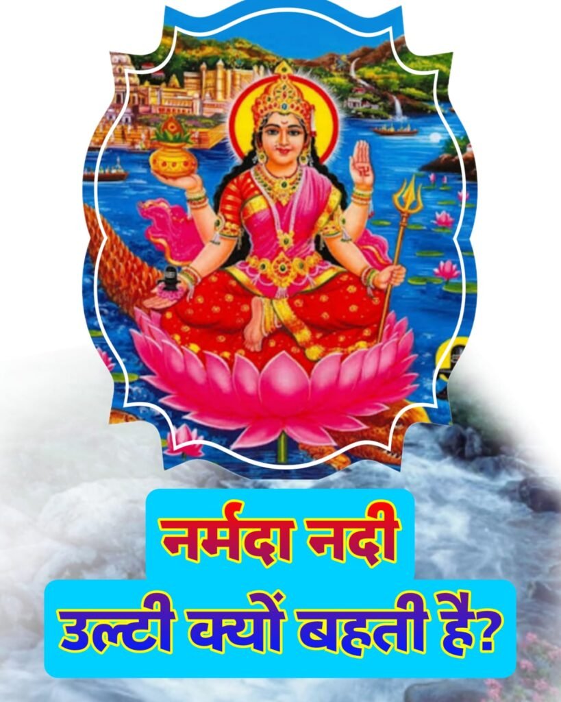
She is also called Reva. Another living name is Shankar Kanya — daughter of Shiva — because Purana-style tellings describe her as born of Shiva’s tapas and blessed to remain pure and undiminished. Those names tell you how the river is held. They do not, by themselves, move a drop of water westward. For that you need the valley she occupies, and the stories people recite when they walk it.
A reader standing at Amarkantak can watch the same stream feed two kinds of memory at once: a physical river leaving a forested plateau, and a goddess leaving her natal hill. The rest of this article treats those memories in separate rooms. Mixing them too early is how a simple west-flowing river becomes an internet riddle.
Why most Indian rivers run east — and why this one looks “reversed”
Look at a school map of the peninsula. The Godavari, Krishna, Kaveri and Mahanadi, like many Himalayan rivers after they leave the mountains, trend toward the Bay of Bengal. The usual explanation is the lie of the land: much of the Indian peninsula slopes east, so runoff has an easier path to the eastern sea.
The Narmada is one of a small group of Indian rivers that instead run from east to west. The Hindi source groups her with those few west-bound streams and notes that most Indian rivers do the opposite. Popular language therefore calls her flow ulta — reversed. That word is useful for search and conversation. It is also easy to over-read. The river is not flowing backward against its own bed. It is following a corridor whose floor tilts the other way from the peninsula’s common eastward tilt.
So the puzzle is not magic water. The puzzle is: why does this particular corridor slope west when so many neighbouring catchments slope east? Geology answers with a rift. Folklore answers with a wedding that broke. Both answers are old in their own registers. Only one of them belongs in a physical-geography classroom.
Once that distinction is clear, the rest of the journey is easier. The next two sections stay with rocks, plates and gravity. The sections after that stay with katha and shraddha. If a sentence sounds like proof of the other side, treat it as a crossing that should not have happened.
The science: a rift valley between the Vindhya and Satpura ranges
The main scientific reason given for the Narmada’s westbound course is the structure of the ground she runs on. She does not wander across an ordinary open slope. She occupies a special geological setting called a rift valley — in Hindi, a bhransh ghati, a faulted trough.
The source account of that trough is tectonic, and it is stated at a broad level, not as a dated field report. Millions of years ago, as the tectonic plates of the Indian subcontinent pulled away from the African plate and drifted north, the crust was wrenched and broken. Parts of the surface cracked; some blocks sank. Out of that long disturbance, the telling goes, a deep valley opened that later became the path of both the Narmada and the Tapti.
On the ground today that path is easy to picture even without a technical map. To the north stand the Vindhya ranges. To the south stand the Satpura ranges. Between those two walls the Narmada travels in a long, fault-guided depression. The ranges do not “aim” the river like a canal company. They simply bound a low corridor. Water that collects in that corridor has little choice but to follow it.
This is documented physical setting, not folklore. It also explains why the Narmada and the Tapti are so often named together in geography lessons: they are sister occupants of related rift country, not random exceptions scattered across the plateau. What the source does not give — and what this rewrite will not invent — is a year, a kilometre-depth, or a named research paper. The claim on the table is structural: west flow because rift valley, rift valley because old plate motion and sagging crust, corridor because Vindhya and Satpura stand on either side.
Hard basalt, gravity, and a slope that points west
A rift only matters if its floor has a direction. Most Indian rivers leave the Himalaya or the Western Ghats and turn east because the peninsula’s common slope points toward the Bay of Bengal. The Narmada’s rift floor, in the same telling, slopes from east to west. That tilt is what carries the river from Amarkantak all the way to the Gulf of Khambhat.
Gravity does the rest. Water does not vote for a sacred sea. It runs downhill. In this valley, downhill is west. Call that the least mysterious sentence in the whole debate, and the one that still surprises people who grew up with east-flowing maps.
A third physical point in the source is the rock. The Narmada’s channel is described as cut through very hard basalt. Those rocks do not yield easily. Because the water cannot freely saw a new line through them, the river stays inside the fault-guided route instead of breaking sideways into some other catchment. Hard rock here is not a miracle. It is a reason the inherited corridor remains the inherited corridor.
Put the three scientific pieces in one line and the “reverse” riddle shrinks: a rift between two ranges, a floor that leans west, and a bed too stubborn for casual capture. None of that needs a goddess to be true. None of it cancels the goddess for a pilgrim. It only says what kind of answer geology is allowed to give.
FACT BOX — only what the source states as course and setting, not as miracle:
- Source: Amarkantak hills, Anuppur district, Madhya Pradesh.
- Length given in the source: about 1,312 kilometres.
- States on the route: Madhya Pradesh, Maharashtra and Gujarat.
- Mouth: Gulf of Khambhat (Arabian Sea), near Bharuch, Gujarat.
- Other names in living use: Reva; in devotion, Shankar Kanya.
- Physical setting named: a rift valley, shared in the same account with the Tapti, between the Vindhya (north) and Satpura (south) ranges.
- Channel rock named: hard basalt, which the source says keeps the river from easily leaving its fault path.
Everything below that line in popular talk — marriage, anger, a blessing from Shiva — is katha or belief, not a field measurement.
Folklore: the tale of Narmada, Sonbhadra and Johila
Beside the rift sits the story people repeat when they want a reason that feels like a person. In the best-known telling, Narmada was to marry Sonbhadra — the Son River. They loved each other at Amarkantak, where both streams are remembered as beginning their lives.
Then comes the rupture. Just before the wedding, Narmada’s companion Johila showed her own pull toward Sonbhadra. Some versions say Johila took Narmada’s form and tried to meet him. Others say Sonbhadra mistook Johila for Narmada. The source keeps both variants in view and does not pick a court-certified original. When Narmada learned of the deceit, she was furious. She refused the marriage.
Insulted and wounded, she turned her face away from every river that runs east and chose to walk west alone toward the sea. After that, the katha says, Sonbhadra went east with Johila, while Narmada kept her opposite path. That is the folk reason given for a westbound Narmada and an eastbound Son.
Treat the tale as folklore — a love story used to remember two directions — not as a dated event and not as a substitute for the rift. No inscription in this source timestamps the wedding. No measurement in this source proves that anger tilts a valley. What the story does well is give a human shape to a map children already know: one sister goes west, the other household goes east, and Amarkantak remains the hill where the quarrel is said to have begun.
In the katha, Narmada does not lose her way. She refuses a path that would have made her like the others. The west is her answer, not her accident.
That sentence is devotion talking. Geology would never sign it. A careful reader can hold both without forcing one to impersonate the other.
Shiva’s daughter and the blessing of an uncommon path
A second religious strand does not argue with Sonbhadra at all. It places Narmada in Shiva’s household. In that telling, Shiva obtained her through tapas and blessed her to stay forever pure and indestructible. The name Shankar Kanya grows from this belief.
Some devotees add a further request: that Narmada herself asked Shiva not to run east like the other rivers, but to meet the Arabian Sea in the west so that her route would remain unlike any other. Again, this is belief layered on belief. It explains uniqueness as a boon, not as a fault block.
Why keep the strand if science already has a valley? Because this is how a sacred river is addressed on the ground. Pilgrims do not recite plate boundaries at dawn aarti. They recite relationship — father and daughter, blessing and vow. The respectful way to write that is to name it as shraddha, then step back. The source does not present a laboratory test of the blessing. This rewrite will not invent one.
Read together with the Johila story, the Shiva strand also shows that “why west?” has more than one folk answer. One is heartbreak. One is a chosen distinction. Communities can carry both without publishing a reconciliation memo. An article can do the same, as long as it refuses to sell either katha as a soil survey.
Faith on the banks: parikrama, banalingam and tirthas
The westbound course is only one reason the Narmada is treated as more than water. Her banks hold a walking culture, a stone culture and a calendar of tirthas.
Narmada parikrama is described as a severe and holy circuit. Devotees complete it on foot along both banks. The source calls the walk moksha-giving in the language of faith, and notes that it can take several months. Along the way people offer aarti, sing bhajans and repeat mantras. That is practice, not proof of geology. It is also the clearest sign that the river is lived as a person one can circle, not only as a line on a map.
In the bed itself, round stones called banalingam are held as sacred. They are honoured as self-manifest forms of Shiva and are taken into homes and temples for worship. Here again the claim is religious: the stone is a presence, not a souvenir. A mineralogist may later classify the rock. The source’s point is the reverence, not a lab certificate.
Famous ghats and tirthas stand on the same banks — Omkareshwar, Maheshwar, Bhedaghat among them. The source says hundreds of thousands of devotees come every year. On occasions such as Narmada Jayanti, bathing and worship at these ghats take on special weight. That is festival practice tied to the river’s personhood.
None of this is only temple talk. The same river is called life-giving for a second, practical reason named in the source: irrigation, drinking water and power generation that support the economies of Madhya Pradesh and Gujarat. Sacred use and civic use share one channel. Confusing those two uses is how a hydro project argument becomes a blasphemy argument, or a pilgrimage memoir becomes a fake science explainer. Keep the ledgers separate and both remain readable.
Science and shraddha, side by side
So why does the Narmada river flow west — and why does popular speech still say “reverse”? Geology’s answer, as given in the source, is a rift valley between the Vindhya and Satpura ranges, a floor that leans from east to west, gravity, and a hard basalt path that does not easily let the river escape. Folklore’s answer is a broken betrothal at Amarkantak, after which Narmada refused the east. Belief’s further answer is a daughter of Shiva who asked for a route no other river would copy.
Those are not three versions of one experiment. They are three kinds of speech about one river. The first can be walked with a map from Amarkantak to Bharuch. The second can be told at a ghat without a compass. The third can be sung in an aarti without settling a plate boundary. A culture that keeps all three is not confused. It is simply refusing to let one language evict the others.
What this article will not do is crown a winner. It will not invent a study that “proves” the wedding. It will not stretch “millions of years” into a fake date. It will not turn “hundreds of thousands of pilgrims” into a branded crowd count. The Narmada does not need extra numbers to remain strange and beloved. She needs a clear sentence: the water goes west because the valley goes west; the stories go west because people needed a reason that could be loved.
Stand on either bank and the current still moves toward the Arabian Sea. Science names the trough. Shraddha names the daughter. Curiosity, which started this page, can live with both if it stops asking one of them to impersonate the other.
FAQ
Does the Narmada really flow “in reverse”?
Only in popular language. Most major Indian rivers trend toward the Bay of Bengal. The Narmada runs from her source in the east toward the Arabian Sea in the west, so people call the course reversed. Physically she is still flowing downhill along her own slope, not climbing against gravity.
What is the scientific reason the Narmada runs west?
The source explanation is geological structure: she occupies a rift valley between the Vindhya range to the north and the Satpura range to the south. That trough, also linked in the same account with the Tapti, is described as having an east-to-west slope. Hard basalt in the channel is given as a further reason she stays on that inherited path.
Is the Narmada–Sonbhadra–Johila story history or myth?
It is folklore — a Purana-style love story used to remember why one river goes west and the Son goes east. Variants disagree on whether Johila took Narmada’s form or Sonbhadra mistook her. The tale is not a dated historical record and should not be sold as geology.
Why is the Narmada called Shankar Kanya and Reva?
Reva is a living name for the same river. Shankar Kanya belongs to belief: Narmada is honoured as Shiva’s daughter, obtained through tapas and blessed to remain pure. Some devotees also say she asked to meet the Arabian Sea in the west so her path would stay unique. That is shraddha, not a field survey.
Where does the river start and end, and why do pilgrims walk it?
She rises at Amarkantak in Anuppur district, Madhya Pradesh, travels about 1,312 kilometres through Madhya Pradesh, Maharashtra and Gujarat, and meets the sea in the Gulf of Khambhat near Bharuch. Parikrama — a months-long foot circuit of both banks — is practised as a moksha-oriented vow. Banalingam stones from the bed are worshipped as self-manifest Shiva. Omkareshwar, Maheshwar and Bhedaghat are among the tirthas named on her banks.
Disclaimer
This article retells geography and sacred tradition as they appear in the Hindi source. Length, origin, states, mouth, rift-valley setting, basalt channel, names, katha variants and pilgrimage practices are presented as given there. Folklore and belief are labelled as such and are not scientific proof. No extra statistics, quotations, studies or measurements have been added. Ritual practice varies by community and family; this page is an explainer, not a priest’s instruction and not a geology textbook.