Cyclone Murasu is a confirmed Bay of Bengal weather system, not merely a social-media name. The IMD coastal bulletin issued at 03:14 IST on 2 November 2026 forecast a south Andhra Pradesh crossing between Nellore and Narsapur, close to Ongole, late on 2 November into early 3 November. This is a dated forecast snapshot: the track, intensity and local instructions can change. Check the newest IMD bulletin and your district administration before making a journey or deciding whether to evacuate.
What the latest checked bulletin actually says
The important distinction is between a storm's observed position and its predicted coastal crossing. A position reported at one observation time is not a promise that the centre will remain there. Equally, an expected crossing corridor is not a street-level flood forecast. This article uses the bulletin's issue time openly so that a forwarded screenshot cannot be mistaken for a continuously updating live tracker.
The forecast crossing window was approximately 23:30 IST on 2 November to 04:00 IST on 3 November. The bulletin described possible severe-cyclonic-storm conditions at the coast, with sustained winds forecast around 100–110 km/h and gusts to 120 km/h. Those are forecast values for the event, not measured wind speeds at every home in Nellore, Chennai or the entire state.
Nellore, Ongole and Chennai: how to read the geography
Nellore and the south Andhra coast deserve particular attention because they appear in the coastal forecast. Chennai is also a reference location in IMD bulletins. A city's name in a distance table does not automatically mean the cyclone will make landfall there. For Chennai residents, district rainfall warnings, waterlogging information and local travel notices are more useful than treating every regional cyclone headline as an evacuation order.
Residents farther along the east coast should avoid two opposite mistakes: assuming the storm must hit their city because it is in the Bay of Bengal, or assuming there is no risk because the centre is forecast elsewhere. The relevant question is what the official bulletin says about their own coastal sector and district. Offshore conditions, rain and local flooding are different hazards with different geographic footprints.
Rain, rough seas and storm surge are different risks
Wind is only one part of a cyclone warning. Heavy rain can affect roads and drainage away from the centre, while rough seas create a separate risk for fishing and beach visits. Storm surge means an abnormal coastal water rise associated with the storm; it is not the same thing as ordinary rainwater collecting in a street. Each warning needs its own location and timing.
The south Andhra bulletin included a forecast surge hazard for low-lying coastal areas. Do not extend a forecast for one sector to all of India, or calculate the depth inside a particular house from a regional surge figure. Local terrain, coastal exposure and official evacuation zones matter. If authorities ask your locality to move, act on that instruction rather than waiting to see the sea reach the road.
School holidays and train cancellations: check the actual order
A cyclone forecast does not automatically close every school or college. Look for an order from the relevant district administration or education authority, including its date, the classes or institutions covered and the day of closure. An old holiday notice with its year cropped out is not evidence of a fresh decision. This report does not announce an unverified blanket school holiday.
Apply the same discipline to travel. A warning about possible disruption is different from the cancellation of your particular train, bus or flight. Check the operator's official service information using the journey date and service number. If a connection is essential, confirm both the outward and return legs. Avoid promising relatives that a route is safe simply because an online booking screen still sells tickets.
A practical household checklist before conditions worsen
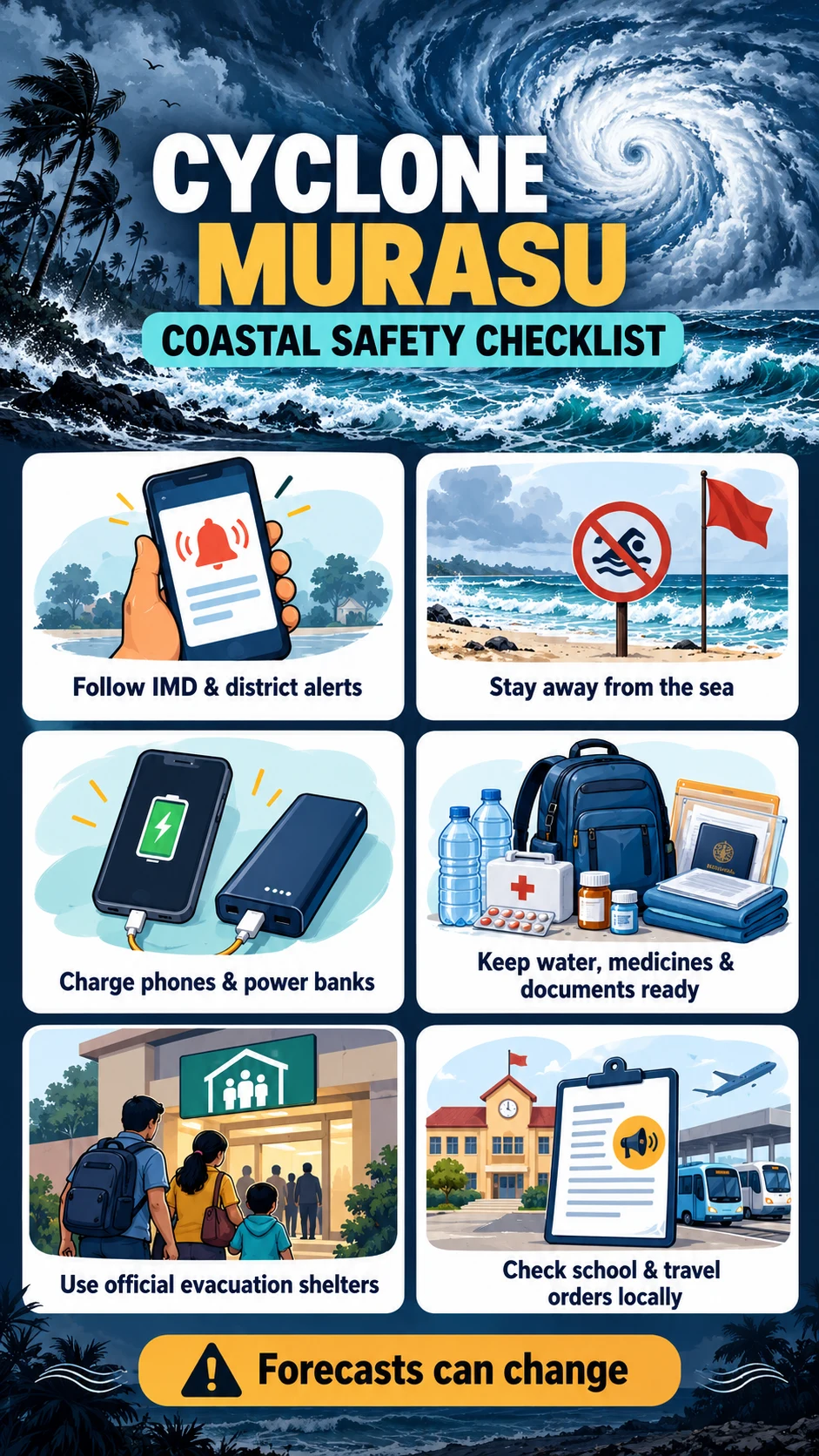
Put the things you would actually carry together: regular medicines, drinking water, ready-to-eat food, a torch, phone charger, power bank and waterproof document copies. A bag is useful only when everyone knows where it is. Keep a short paper contact list as well as numbers on a phone. Agree who will check on an older relative and who will accompany a child if the family has to move.
Make decisions while it is still safe to do so. Identify the official shelter or safe location named for your area and the route recommended by local authorities. Do not invent a shortcut through a flooded lane. If a family member has mobility or medical needs, tell the local assistance team early. Preparedness is a set of small decisions made in advance, not a last-minute rush to buy everything in a shop.
During the storm: simple actions that reduce avoidable exposure
Stay away from beaches, sea walls and waterfront viewing spots. A striking wave video is not worth the exposure. Avoid standing under unstable trees or near loose roofing and signs. Do not touch fallen or hanging electrical wires, and do not drive or walk into floodwater to test its depth. Conditions that look manageable from a doorway can change before a person returns.
A temporary lull is not an all-clear. Wait for official instructions before leaving a shelter or returning to an evacuated area. Keep children away from floodwater and damaged structures. Afterward, describe damage clearly when requesting help: the location, the immediate problem and the number of people needing assistance are more useful than forwarding an alarming clip without context.
How to spot a misleading cyclone map or WhatsApp forward
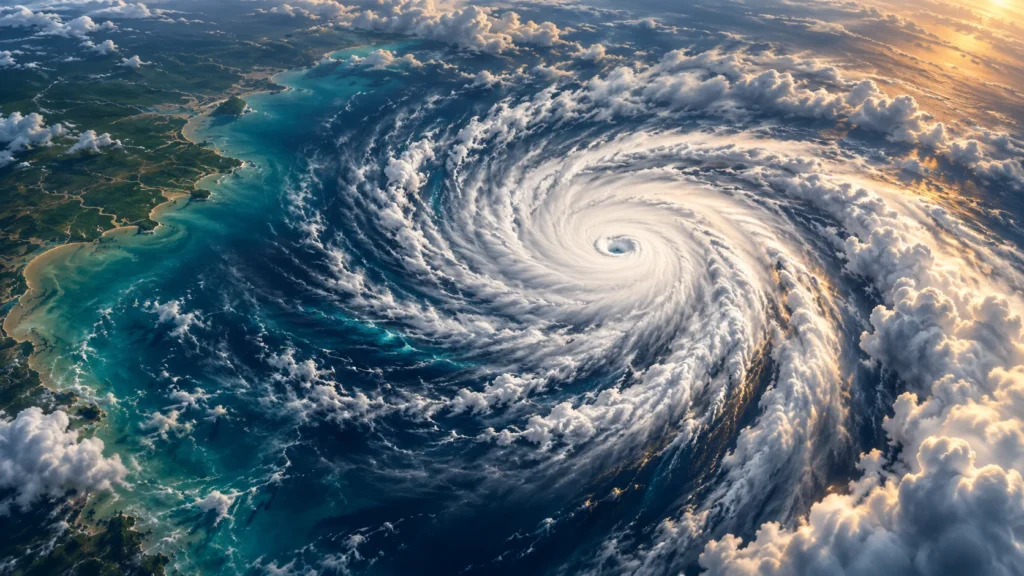
Check four things before sharing: the issuing authority, issue date and time, the area covered and the action requested. A colourful model map is not automatically an IMD warning. An illustration of a cyclone is not a current satellite observation. The feature image here is an AI-created illustration and the poster is a preparation checklist; neither should be used to locate the storm centre.
Be especially careful with words such as confirmed, live and landfall. A forecast can be official without being a completed event. A page is not live merely because its title says live updates. When a message lacks a timestamp, open the primary source before circulating it. Share the complete article link with the forecast context, rather than only a cropped sentence or a dramatic image.
Frequently asked questions
Is Murasu officially confirmed? Yes. The checked IMD bulletin names Cyclonic Storm Murasu. The next bulletin may change its category or position, so read its timestamp as well as its name.
Will it hit Nellore city directly? The checked forecast gives a wider south Andhra coastal corridor, close to Ongole. It does not establish a direct hit on every named city or neighbourhood.
Are all schools closed on 2 November? No blanket closure is established in this report. Follow the applicable district and education orders for the institution concerned.
Does a forecast near Andhra mean Kerala, Odisha or Bengal will have the same impact? No. Each region needs its own marine, rain and district warning. A shared storm name does not mean an identical local hazard.
What should I check first? The newest IMD bulletin, your district instructions and the official status of any essential journey. If an evacuation order applies to you, that instruction takes priority over general online commentary.
Advice: use this report to understand the warning, then make local decisions from the latest official instructions. This is a 2 November bulletin-based report, not an automatic live tracker or a substitute for an evacuation order.
Sources
IMD Andhra coastal bulletin, issue checked 03:14 IST, 2 November 2026
IMD cyclone and flood preparation guidance
IMD official weather and district warnings